TELDAP Collections
 A Slice of Wonder
Facets of Taiwan
Exhibitions
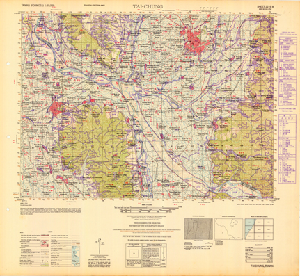
| Land Utilization and Forest Resources Map of Taiwan—Taichung |
|
|


A Slice of Wonder
Facets of Taiwan
Exhibitions
| Land Utilization and Forest Resources Map of Taiwan—Taichung |
|
|


 visits (since January 2011)