


TELDAP Collections
 A Slice of Wonder
Facets of Taiwan
Exhibitions
Aerial Photo Management and Retrieval System
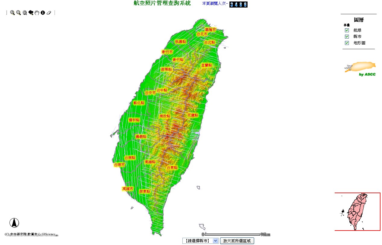 Aerial photos provide plenty of primary and authentic information of geographic surfaces. A panorama of geographic surfaces not only tell us an overall picture of a targeted object itself but also help us understand its natural and cultural surroundings by revealing its relationship with other significant geographical settings and objects. With this website's aerial photo management and retrieval system users can search various maps of Taiwan's administrative areas, airways and topography. This website also makes search and examination of aerial photos more efficient with the function of map overlapping.
http://gis.ascc.net/aerialphoto/
There are no documents in this category
You are the 


 visits (since January 2011)
visits (since January 2011)