TELDAP Collections
 A Slice of Wonder
Facets of Taiwan
Exhibitions
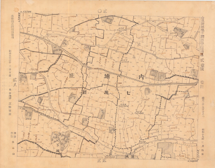
| Survey Plan—The New Irrigation Canal Site in Houli |
|
|
You are the 


 visits (since January 2011)
visits (since January 2011)


A Slice of Wonder
Facets of Taiwan
Exhibitions
| Survey Plan—The New Irrigation Canal Site in Houli |
|
|
visits (since January 2011)