|
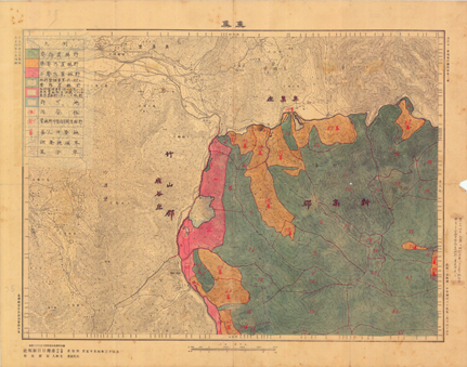
Map of Forest Distribution |
|
Tags: documents | Japanese colonial period | maps
 |
| |
Date: Japanese colonial period
Illustration: Map of Forest Distribution
Scale: 1/50,000
Original archiving department: Forest Management Section, Forestry Bureau |
| |
| Description: This illustration shows the survey and arrangement of state-own lands and indigenous reservations undertaken by the forestry administration during the Japanese colonial period. This is a topographical map of indigenous lands. |
| |
| Text and images are provided by The Map and Remote Sensing Imagery Digital Archive Project, Academia Sinica |
|
 A Slice of Wonder


